Clay Till, Perched Water and Muck: What Crown Point Foundations Sit On
Crown Point's soils are a different story from the sandy dunes and lake plain to the north. Around the city the USDA soil map is dominated by silty clay loam till left by glaciers, wet for part of every year. Here is what that ground does to a foundation.
In a 49-point USDA soil sample around Crown Point, 16 points fell on Elliott silt loam and 9 on Pewamo silty clay loam, both formed in clay-rich till. Countywide, the USDA puts 75% of Lake County's soil in its worst class for homes with basements, mainly because water sits close to the surface.
What does the USDA soil map show around Crown Point?
A sample of 49 points on the USDA soil map, spaced about two-thirds of a mile apart around the city, came back mostly clay-rich till soils: Elliott (16 points), Pewamo (9), Blount (6), Ozaukee on the slopes (9 across several map units) and Markham (4). Two points fell on Houghton muck. Elliott, Blount and Markham are somewhat poorly to moderately well drained; Pewamo is very poorly drained.
Perched water: why clay soils stay wet into spring
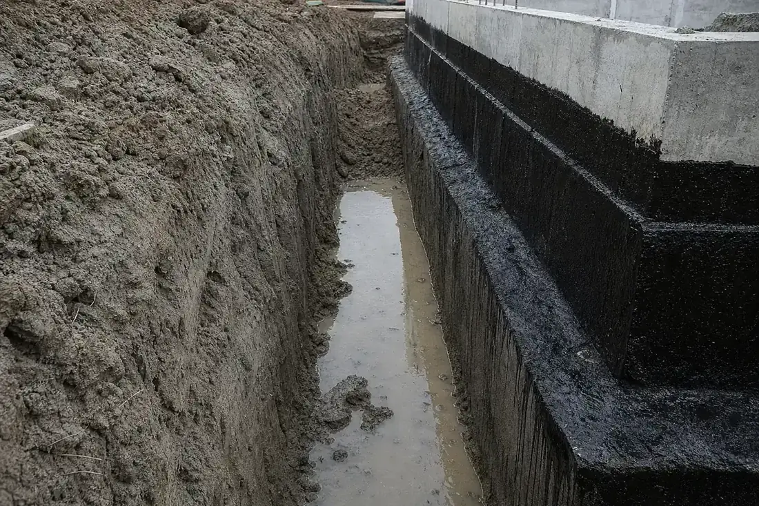
Dense till lets water through slowly, so rain and snowmelt pile up above it. The USDA's descriptions put a perched water table 1 to 2 feet below the surface in Elliott soils at some time between January and May in most years, and 2 to 3.5 feet down in Markham soils during spring. A basement floor typically sits deeper than that, so the water ends up beside and beneath it. Pewamo, in depressions, can have water from a foot above the surface to a foot below it from December to May.
Hollows, muck and the lowest lots
Low spots collect water and, over thousands of years, organic matter. Houghton muck, an organic soil over four feet deep, turns up twice in the sample, and Adrian and other organic soils are mapped elsewhere in the county. Building on muck invites settlement. If your lot is the low point of the street, a sump that runs often and a corner that keeps dropping are both more likely; see settlement repair and basement waterproofing.
How do Lake County soils rate for basements?
Every soil in the Lake County survey gets a rating for homes with basements. By acreage, 75% is very limited, 3% somewhat limited, 7% not limited and 15% not rated (urban land, water and fill). Depth to a saturated zone is the leading reason, followed by ponding, then shrink-swell on about a fifth of rated acres. You can look up your own parcel in the USDA Web Soil Survey.
Frost and snow numbers in Indiana's code
Table R301.2(1) of the 2020 Indiana Residential Code requires Lake County footings to bottom out 36 inches or more under the finished ground, and it designs roofs here for a 30 psf ground snow load. Porches, stoops and additions built on shallower footings are the parts most likely to heave.
Tell a local specialist what you see
A crack that showed up after the first winter, a basement that seeps every April, a garage floor that dropped: describe it in a line or two. One independent foundation and waterproofing specialist who covers Crown Point reads it.